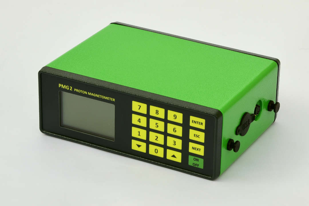
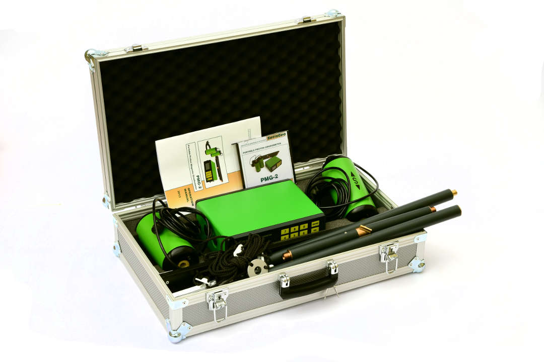
The intended use of the PMG-2 proton magnetometer and gradiometer is for a field survey of mineral deposits, searching for buried ferrous, and other magnetic objects. The proton magnetometer PMG-2 can also be used for long-term stationary Earth magnetic field measurements and or for a field survey of daily variations of the Earth magnetic field. It can also be useful in archeology in searching for buried foundations/walls.
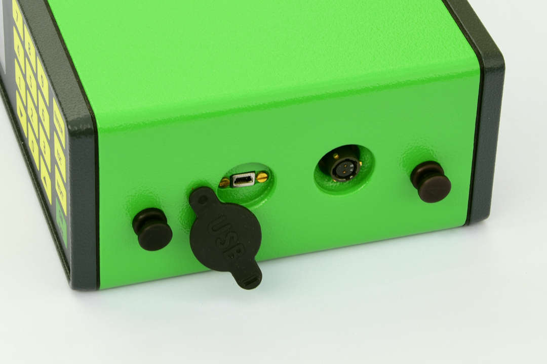
The proton magnetometer and gradiometer PMG-2 is robust, reliable, water and dust resistant, and easy to use. The PMG-2 measures Earth’s magnetic field in a range of 20 000 – 100 000nT. It is equipped with a FLASH memory with capacity up to 1 800 000+ measurements. The saved data are transferred to a computer via the USB interface.
The PMG-2 also allows, when measuring on a marked grid, automatic position increment for each measurement on a marked grid line. This simplifies this type of measurement, and it is not necessary to set the position on the grid before each measurement. However, it is required to change the line by the operator when switching to a new line.
To measure daily magnetic field variations, the PMG-2 proton magnetometer is equipped with an anchor ring with ropes and tent pins for anchoring the sensor. The AUTO measurement mode is intended for measuring the Earth’s magnetic field daily variations, where the time of the first measurement can be set, and also the interval between individual measurements in the range of 5 s – 24 h with a resolution of one second.
The PMG-2 proton magnetometer and gradiometer allow measurements with either one or two sensors. When measuring with one sensor in SINGLE configuration, the absolute value of the induction vector of the Earth’s magnetic field is measured. With this type of measurement, it is necessary to use another instrument and measure daily variations of the Earth’s magnetic field. The data are needed to correct the daily changes of the magnetic field.
There is no need of using a second device to measure the Earth’s magnetic field daily variations when measuring in the GRAD configuration. In the GRAD configuration, the magnetic induction vector at the locations of each sensor is measured simultaneously. The gradient is determined by the subtraction of the two values.
The magnetometer PMG2 allows the Earth´s magnetic field to be measured in three modes:
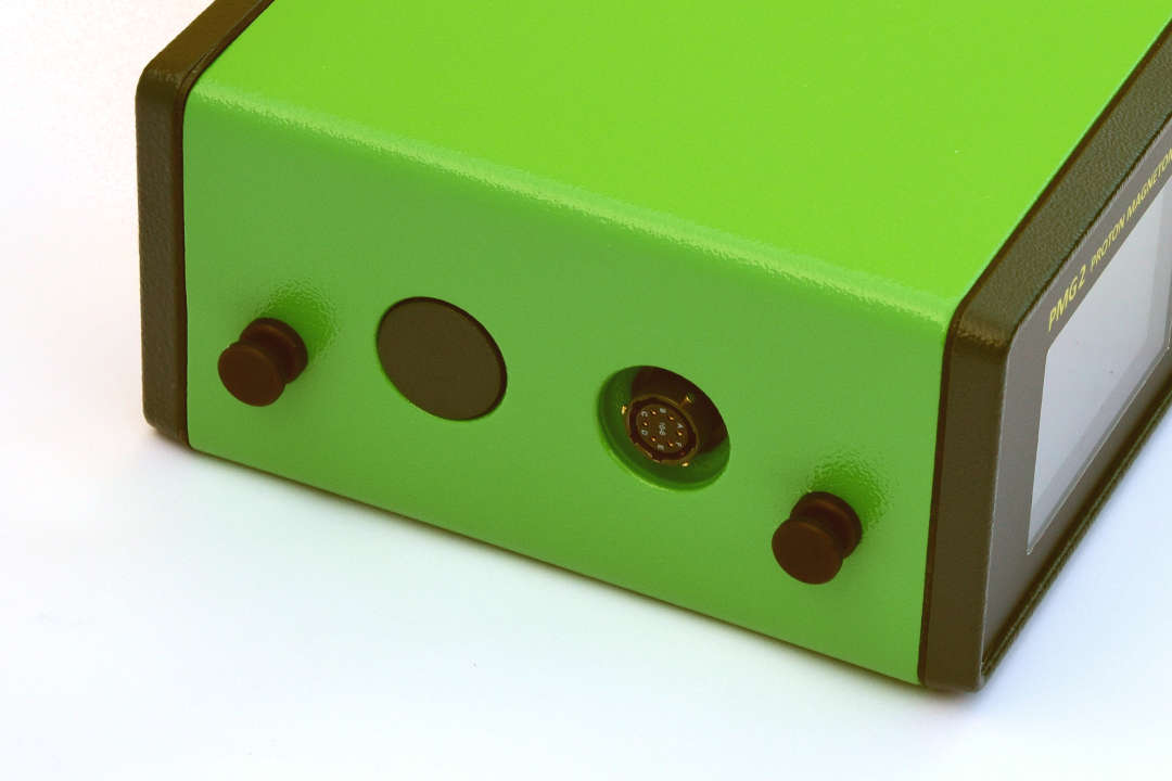
MANUAL mode is used in a profile magnetic survey on a grid. Based on settings of sensor configuration. In SINGLE sensor configuration, it detects the absolute value of the magnetic field in the location of the sensor. The sensor is connected to the ‘Up sensor’ connector. In GRAD sensor configuration, the absolute values of the magnetic induction vector in the locations of both sensors are measured simultaneously. The horizontal or vertical gradient of the magnetic field between the two sensors is determined by subtraction: The value of the field measured in the location of the sensor connected to the ‘Up sensor’ connector minus the value of the field measured in the location of the sensor connected to the ‘Down sensor’ connector. The gradient measurement removes, to some extent, the undesirable influence of disturbing fields, compensates for the influence of the regional field, and does not depend on diurnal variations in the Earth´s magnetic field.
WALK mode continually measures the magnetic field based on sensor configuration in intervals 0.5s, 1s, 1.5s, 2s, 2.5s, and 3s. The possible sensor configuration is the same as in manual mode. The measurements in this mode can be burdened with a more significant error than in MANUAL or AUTO measurements.
AUTO mode allows repeated measurements with one sensor in set time intervals. Both the starting time and the length of the intervals can be set before the measurements. This mode is used for measuring diurnal variations in the Earth´s magnetic field.
The SgDataPMG application is supplied with the PMG-2 proton magnetometer and gradiometer. This application is used to transfer stored data to a computer and for a graphical display of the measured values of the magnetic field. The data can also be exported into a text file, which can then be used for further processing. The SgDataPMG application can also perform corrections of daily variations of the measured magnetic field.
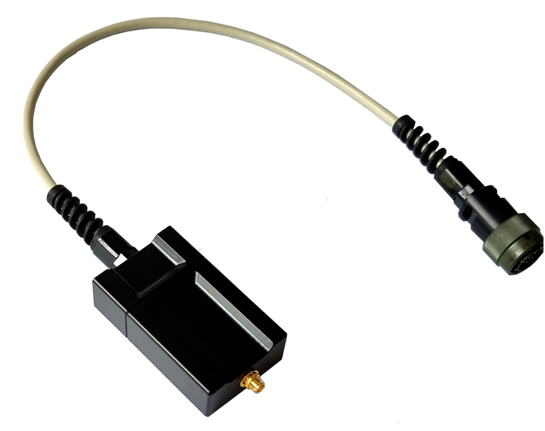
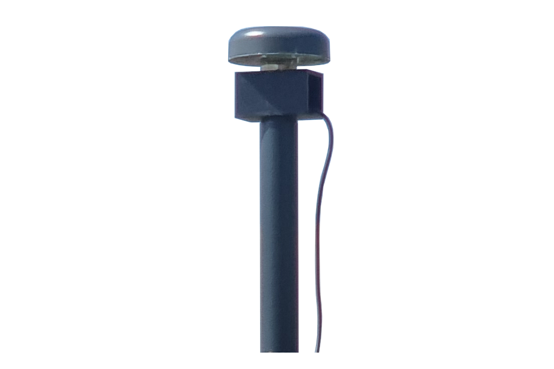
The PMG-2 can use a SatisGeo external GPS receiver, which enables the storage of geo position coordinates with the measurements. The external GPS can be bought as an accessory to the PMG-2.
The GPS receiver uses a 56-channel-ublox 7 engine to receive signals GPS/QZSSL1C/A, GLONASSL1FDMA, SBAS:WAAS,EGNOS,MSAS. The position accuracy is:
| Accuracy | GPS | GLONASS | |
| Position | 2.5 m CEP | 4.0 m | |
| SBAS | 2.0 m CEP | n.a. |
There are two possible antenna configurations. One with the antenna mounted on the pole with the sensors. This configuration uses NavtechGPS antenna TW3101 L1 Non-Magnetic Antenna. The second configuration uses a modified Ublox ANN-MS antenna. This antenna is intended to be placed in supplied cap. Booths are active antennas with similar parameters.
The device is supplied in two variants:
Gradiometer is a fully equipped proton magnetometer and a gradiometer with two sensors to measure the gradient of the Earth’s magnetic field.
Magnetometer is a cheaper version that does not allow measurement of the gradient and is equipped with only one sensor.
If you ask for a quote or have another request, please use the buttons above. You can also send an email, or give us a like on Facebook and write a comment.
| Field range | 20,000 – 100,000 nT (gammas) |
| Absolute accuracy | ± 0.5 nT |
| Resolution | 0.01 nT |
| Sensitivity (AUTO, MANUAL, WALK @ > 1.5s) | 0.2 nT |
| Gradient range | 1,000 nT/m |
| Measurement time | 2 s (maximum) |
| Data memory | Internal flash memory, 1 800 000+ readings |
| Display | LCD graphic 160 x 104 |
| Keyboard | 16 key, membrane type |
| Interface | USB 2.0 |
| Power source | Internal non-magnetic li-ion battery 14.8 V / 6 Ah, can be extended to 14.8 V / 12 Ah |
| Battery life | 10,000 readings on average in GRAD operation |
| Console dimensions | 230 x 80 x 170 mm |
| Sensor dimensions | Ø80 x 200 mm |
| Console weight | 2 kg including battery |
| Sensor weight | 0,7 kg |
| Temperature range | -10°C to +60°C |
- Mineral exploration
- Archaeology
- Ferrous ordnance detection
- Buried pipes location
- Environmental studies
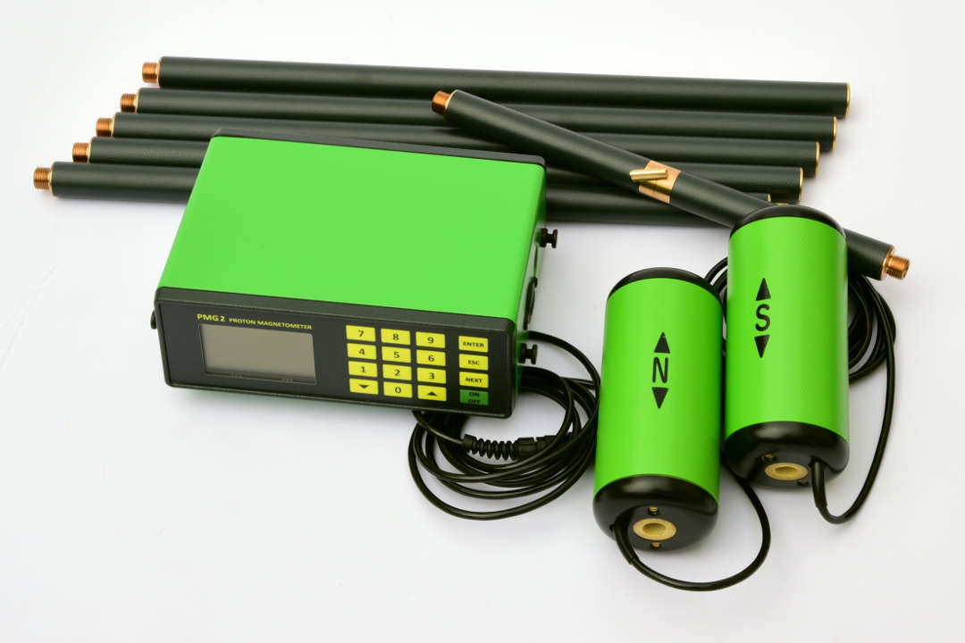
- Console with built-in battery
- Two sensors with six sensor sticks
- Battery charger
- Anchor ring with ropes
- Tent pins
- Harness
- Instruction manual
- Transport case
- USB cable
- USB FLASH memory with communication software for Windows
